
Recurring flood disasters in neighborhoods like Lokogoma and Gudu serve as a stark diagnostic tool, exposing the widening chasm between Abuja’s rapid physical expansion and its aging infrastructure capacity. The Nigerian capital, once a symbol of orderly urban planning, now struggles with the consequences of a population that has far outpaced the initial 1979 vision. Seasonal rains regularly transform arterial roads into impassable waterways, trapping commuters and damaging residential properties that were built on the assumption of a robust drainage network.
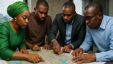
This persistent crisis has forced the Federal Capital Territory Administration to initiate a comprehensive review of the city’s foundational blueprint. The goal is to move beyond reactionary measures and establish a framework that accommodates the current density while preparing for subsequent urban growth. By revisiting the original master plan, officials aim to synchronize physical development with environmental realities that have significantly shifted over the last several decades of intense urbanization.
Identifying Failures in the Current System
Engineering Mismatch: Utility Capacity
Many of the underground conduits and concrete channels in the city center and surrounding districts were engineered nearly fifty years ago for a fraction of today’s residents. As the city has transformed from a quiet administrative hub into a sprawling metropolis, the sheer volume of paved surfaces has increased exponentially, leading to higher rates of surface runoff. During intense tropical downpours, these legacy systems are overwhelmed within minutes, as the capacity for which they were originally designed simply cannot accommodate the massive hydraulic load generated today.
This engineering deficit is particularly visible in older neighborhoods where original drainage pipes have remained untouched while high-rise apartments and shopping complexes have sprouted up around them. The result is a hydraulic bottleneck that forces water back onto the streets, eroding road surfaces and undermining the foundations of nearby structures. Addressing this requires a fundamental reassessment of the hydraulic modeling used in the original planning to reflect the current density and paved surface area.
Infrastructure Security: Maintenance Strategies
Beyond the technical limitations of the original design, the integrity of the drainage network is being severely compromised by systemic vandalism and illegal waste disposal. The persistent theft of heavy-duty cast-iron manhole covers and drainage grates by scrap metal scavengers has left the subterranean infrastructure vulnerable to debris accumulation. Without these protective covers, plastic waste and domestic refuse easily enter the system, creating massive blockages that are difficult and expensive to clear. This neglect has significantly exacerbated the flooding issues during the rainy season.
In response, municipal authorities are transitioning toward the installation of advanced “theft-proof” covers manufactured from composite materials or reinforced concrete that hold no resale value for scavengers. This shift in procurement strategy is designed to ensure that the drainage channels remain unobstructed, allowing water to flow freely even during peak storm events. Success depends heavily on a broader cultural shift regarding the protection of public assets and the implementation of more rigorous waste management practices.
Strategic Planning for a Resilient Future
Policy Reform: Market Adaptation
The strategic shift toward a modernized Master Plan represents a move away from the “patchwork” repair culture that has dominated the last several years. Government planners are now prioritizing a total overhaul that integrates sophisticated climate-resilience data into zoning laws and construction permits. New regulations are being drafted to strictly prohibit development in identified floodplains and wetland areas, which previously served as natural sponges for excess rainfall. Enforcement has become the centerpiece of this new policy direction, with the administration taking a more aggressive stance.
The volatility of the infrastructure landscape has also reshaped the local real estate market, moving it toward a value system where functional utilities drive property appreciation. Investors are no longer satisfied with aesthetic finishes; they demand “infrastructure-first” developments that provide guaranteed drainage integrity. This shift has led to a devaluation of luxury properties in flood-prone zones, as buyers become wary of the long-term maintenance costs. Private developers are starting to respond by incorporating independent, high-capacity drainage systems into their gated communities.
Technological Integration: Sustainable Outcomes
Authorities recognized that a physical expansion of the drainage network had to be complemented by smart technology to ensure long-term functionality. They implemented a pilot program that utilized IoT-enabled sensors placed at critical junctions within the city’s water evacuation channels. These devices provided real-time data on water flow and pressure, allowing maintenance teams to identify potential overflow points hours before a storm reached its peak. By integrating this data into a centralized command center, the municipal government improved its emergency response times and reduced flash flooding incidents.
The process of reviewing the master plan yielded significant insights into the necessity of balancing urban growth with environmental preservation. City planners and private developers moved toward a collaborative model that prioritized the preservation of green spaces and the restoration of natural floodplains. The combination of legislative reform, technological adoption, and community engagement managed to stabilize the city’s urban environment during a period of intense demographic pressure. Ultimately, the lessons learned from this transition period provided a robust framework for other rapidly expanding metropolitan areas.