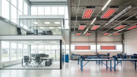
The journey of a public space from an initial concept to a vibrant community hub is often fraught with obstacles, where visionary designs can be diluted by the harsh realities of project delays and abrupt budget cuts. In a compelling address titled "Designing the Conditions for Impact," principal
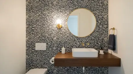
Challenging the long-held belief that West Coast interiors are exclusively defined by a sun-bleached palette of whites and beiges, a significant movement among the region's top designers reveals a deep appreciation for complex, moody, and saturated colors. This shift moves beyond minimalist
The Living Luxe Design Show (LLDS), widely recognized as Canada's most prestigious luxury design event, is making its definitive return to the city, officially scheduled to unfold from April 16 to 19 at the Toronto Congress Centre. Presented by JennAir, this four-day experience transcends the

A tragic incident at a Penang Hospital construction site resulted in the death of an Indonesian worker, casting a stark light on the persistent dangers inherent in the construction industry and prompting an immediate and decisive regulatory response. The fatal event occurred when a ready-mix
Amidst the sleek surfaces and monochromatic palettes that have defined contemporary interiors, a gentle rebellion is taking shape, woven from cotton, linen, and ink. The ancient craft of block printing is experiencing a significant revival, moving beyond its traditional associations to become a
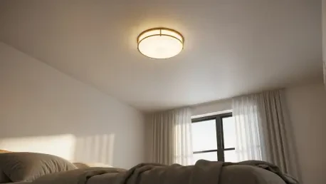
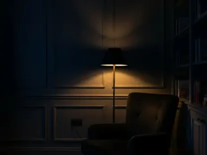
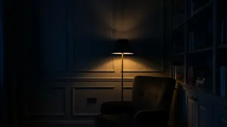
That statement-making pendant light, while beautiful in a showroom, can quickly become an impractical focal point in a bedroom with average ceiling heights, creating both a physical and visual obstacle in a space meant for rest. Many homeowners find themselves navigating around low-hanging