


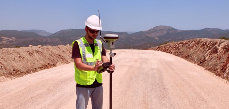
Geographic Information Systems (GIS) are a mature technology that is already widely used at the state and municipal levels for a variety of purposes. Location data has a high value in asset management. However, there continues to be a disconnect between GIS analysts, data scientists and construction and engineering teams across the civil construction industry.
The benefits of applying GIS to civil construction will ultimately drive the diffusion of innovation across the industry. We’ll see geographic data incorporated with details from inspection reports into comprehensive digital as-builts, enabling more efficient management of infrastructure assets across their full lifecycle. But at the moment, full utilization of GIS construction applications remains more limited to early adopters.